The Kazinga Channel is located within Queen Elizabeth National Park in southwestern Uganda. Queen Elizabeth National Park is situated between Lake Edward and Lake George and covers an area of 1,978 square kilometers. The park is easily accessible by road, approximately 20 kilometers west of the Kasese-Mbarara main road. The starting point for boat cruises along the Kazinga Channel is the Mweya peninsula, which is about 20 kilometers from the town of Kasese. Visitors can reach the park by private vehicle, tour operator transport, or special hire taxis available from Katunguru trading center.
The Kazinga Channel

The Kazinga Channel is a significant natural feature within Queen Elizabeth National Park in Uganda. It’s a 32-kilometer long channel that connects two lakes: Lake George to the east and Lake Edward to the west. This channel is one of the most important wildlife habitats in the park and is renowned for its diverse population of animals, birds, and reptiles.
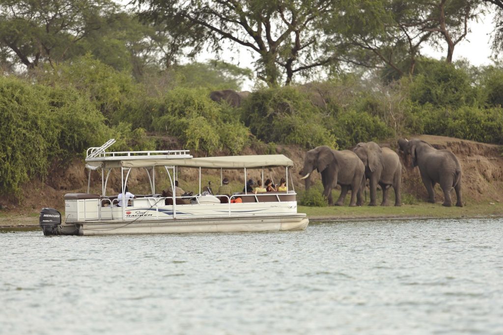
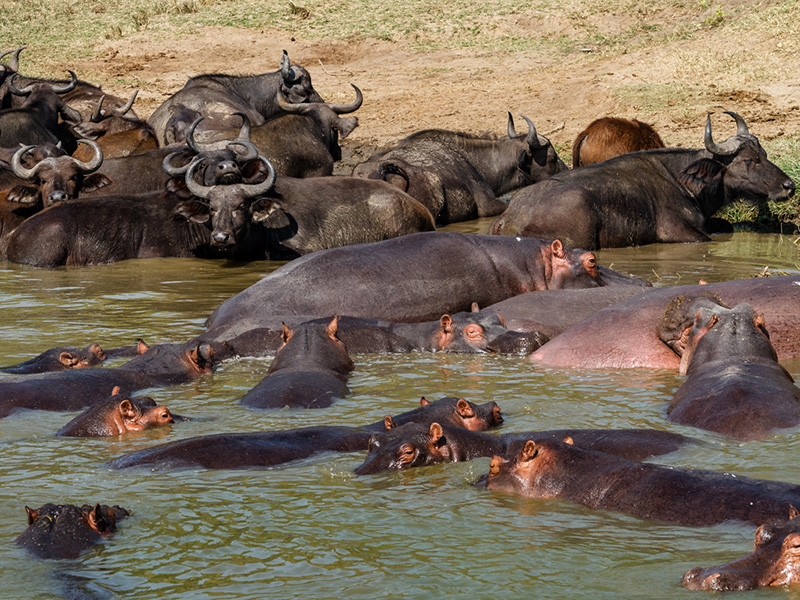
The shores of the Kazinga Channel attract a wide variety of wildlife throughout the year, including one of the largest populations of hippos in the world and abundant Nile crocodiles. Visitors can enjoy boat cruises along the channel, offering excellent opportunities for wildlife viewing. The boat cruises typically operate in the afternoon, with additional expeditions available based on tourists’ preferences.
The northern section of the Kazinga Channel, as well as the Kasenyi plains, are known for offering breathtaking viewpoints for spotting game. Game drives in these areas provide visitors with the chance to see buffaloes, elephants, and other wild animals in their natural habitat. The eastern section of the Kasenyi plains, in particular, is a favorable location for spotting lions.
Overall, the Kazinga Channel is a highlight of Queen Elizabeth National Park, providing visitors with unforgettable wildlife experiences and stunning natural scenery.
How was kazinga channel formed?
The formation of the Kazinga Channel is primarily attributed to geological and hydrological processes over thousands of years. Here’s an overview of how it was formed:
- Tectonic Activity: The geological history of the region involves tectonic movements, which led to the creation of the Western Rift Valley. This rift valley, part of the East African Rift system, stretches across Uganda, including the area where Queen Elizabeth National Park is located.
- Faulting and Rifting: The Western Rift Valley formed due to the stretching and pulling apart of the Earth’s crust, leading to faulting and rifting. This process caused the land to sink and created depressions, which eventually filled with water from nearby sources.
- Drainage Patterns: The region’s drainage patterns were influenced by the geological formations and the topography of the landscape. Lakes and rivers formed as water collected in the low-lying areas created by the rift.
- Connection of Lakes: The Kazinga Channel specifically formed as a natural watercourse connecting Lake George to Lake Edward. Over time, erosional processes, including the flow of water and sediment deposition, carved out the channel between the two lakes.
- Sediment Deposition: Sediment carried by rivers and streams from surrounding areas, including the Rwenzori Mountains to the north, contributed to the gradual filling and shaping of the channel.
- Ecological Changes: As the channel formed and matured, it created a unique habitat that attracted diverse wildlife, including hippos, crocodiles, and various bird species. This ecological richness further shaped the ecosystem around the Kazinga Channel.
In summary, the Kazinga Channel was formed through a combination of geological processes, including faulting and rifting, as well as hydrological processes such as erosion, sedimentation, and the connection of adjacent lakes within the Rift Valley landscape.
Major Tourist Attraction At Kazinga Channel

